https://en.wikipedia.org/wiki/Taupō_Rift_termination_faults#Ohakune_Fault
This most northerly of the cross faults extends 24 km (15 mi) from northwest of Tohunga Junction[5] into the Rangataua Forest. At Tohunga Junction it crosses the Raurimu Fault with a complex series of faults. The fault to the west of this junction region has 65 m (213 ft) of vertical displacement to the east is 55 m (180 ft). This downthrown to the south normal fault has been active for over 18,000 years and has a dip-slip displacement rate of 3.5 mm (0.14 in)/year.[4] The Ohakune volcanic complex (Rochfort ejecta ring and craters) which erupted about 31,500 years ago is situated on and aligned with the fault just north of the town.[6] Etymology Ohakune, Raetihi, Wahianoa River, Moawhango Country New Zealand Region Manawatū-Whanganui and Waikato Regions Characteristics Strike mainly E-W Tectonics Plate Indo-Australian Status Active Type Normal fault Movement Mw7.1 potential[2] Age Quaternary Volcanic arc/belt Taupō Volcanic Zone 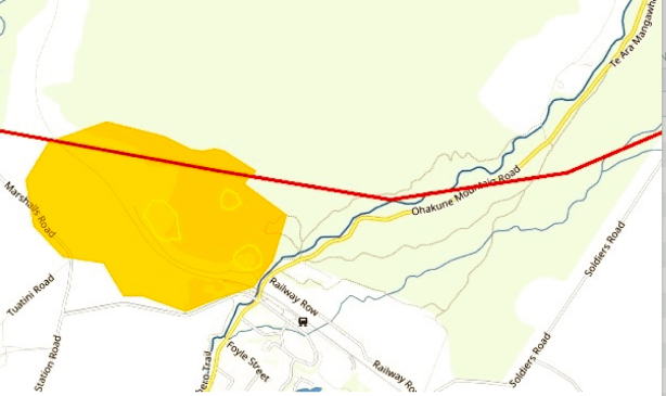
https://en.wikipedia.org/wiki/Ohakune_volcanic_complex Ohakune volcanic complex (Rochfort ejecta ring and craters) Last eruption 31,500 ± 300 years BP https://www.tandfonline.com/doi/epdf/10.1080/00288306.2006.9515144?needAccess=true TEENAGERS Where did GROWN-UPS |
|||